


Parshall, CO
Fishing
4.3
Upper Williams Fork Canyon
Adventure Details
- Brown Trout
- Rainbow Trout
- Guides Allowed
- Partial Phone Service
Notes from the landowner
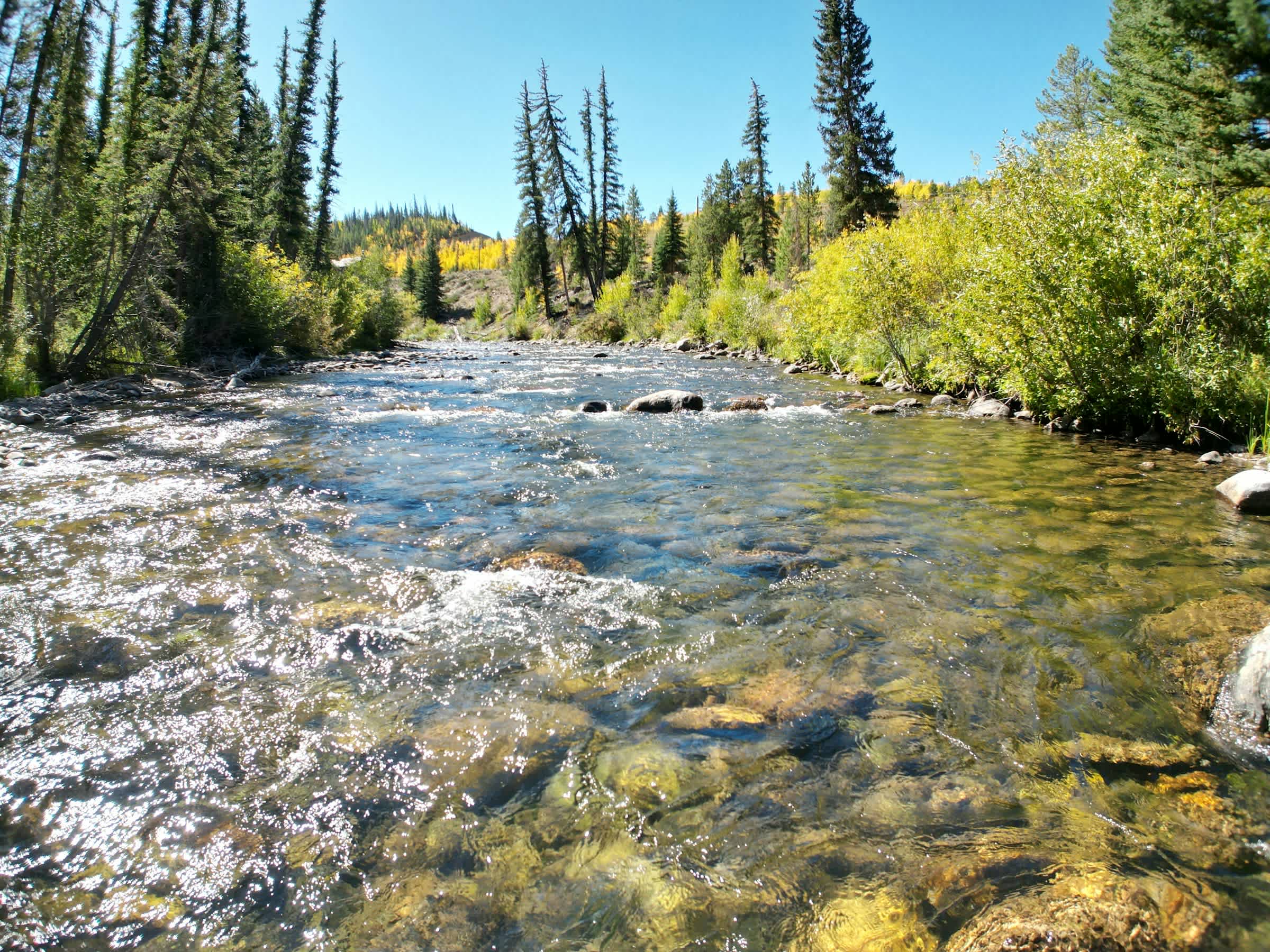
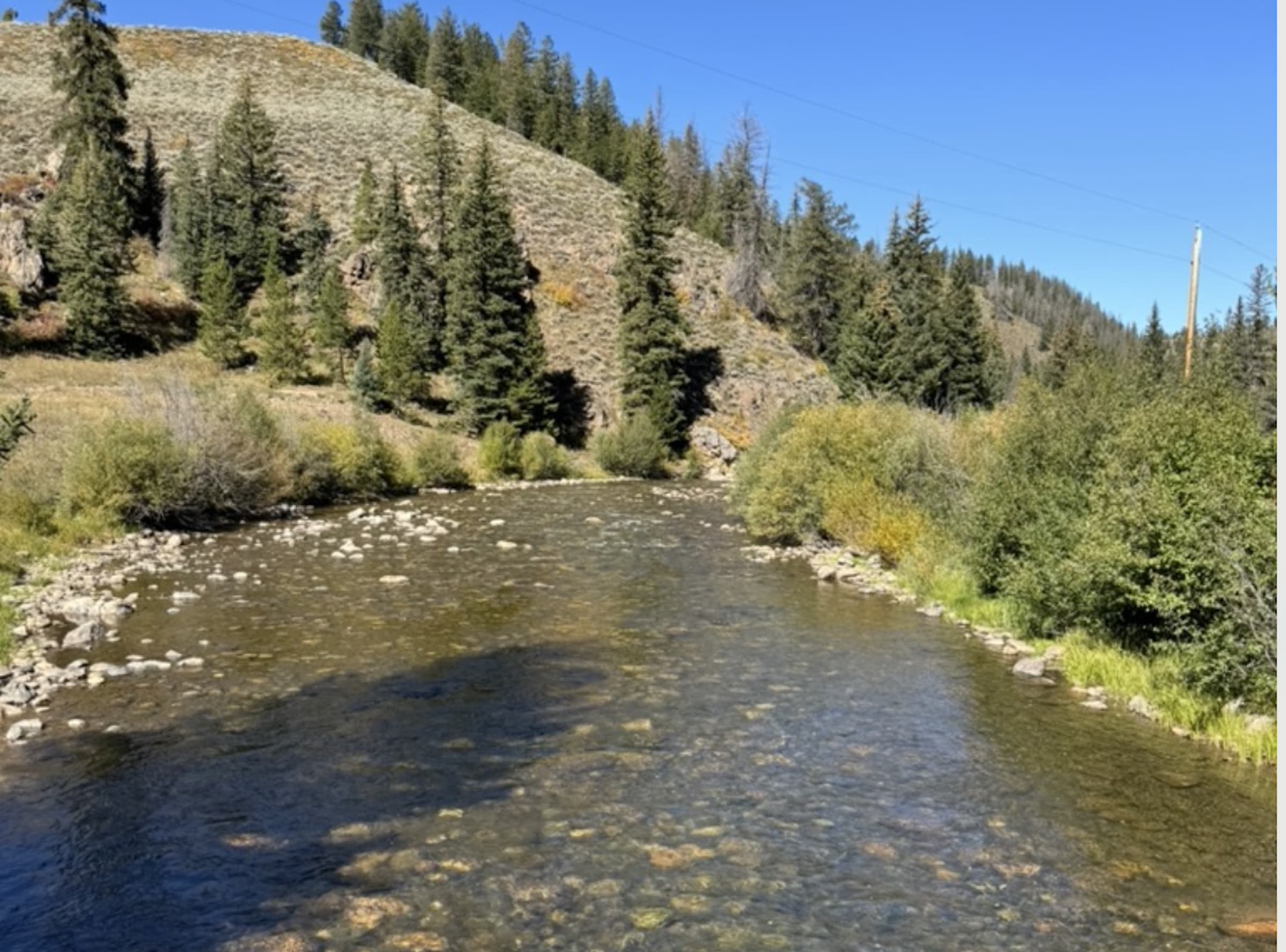
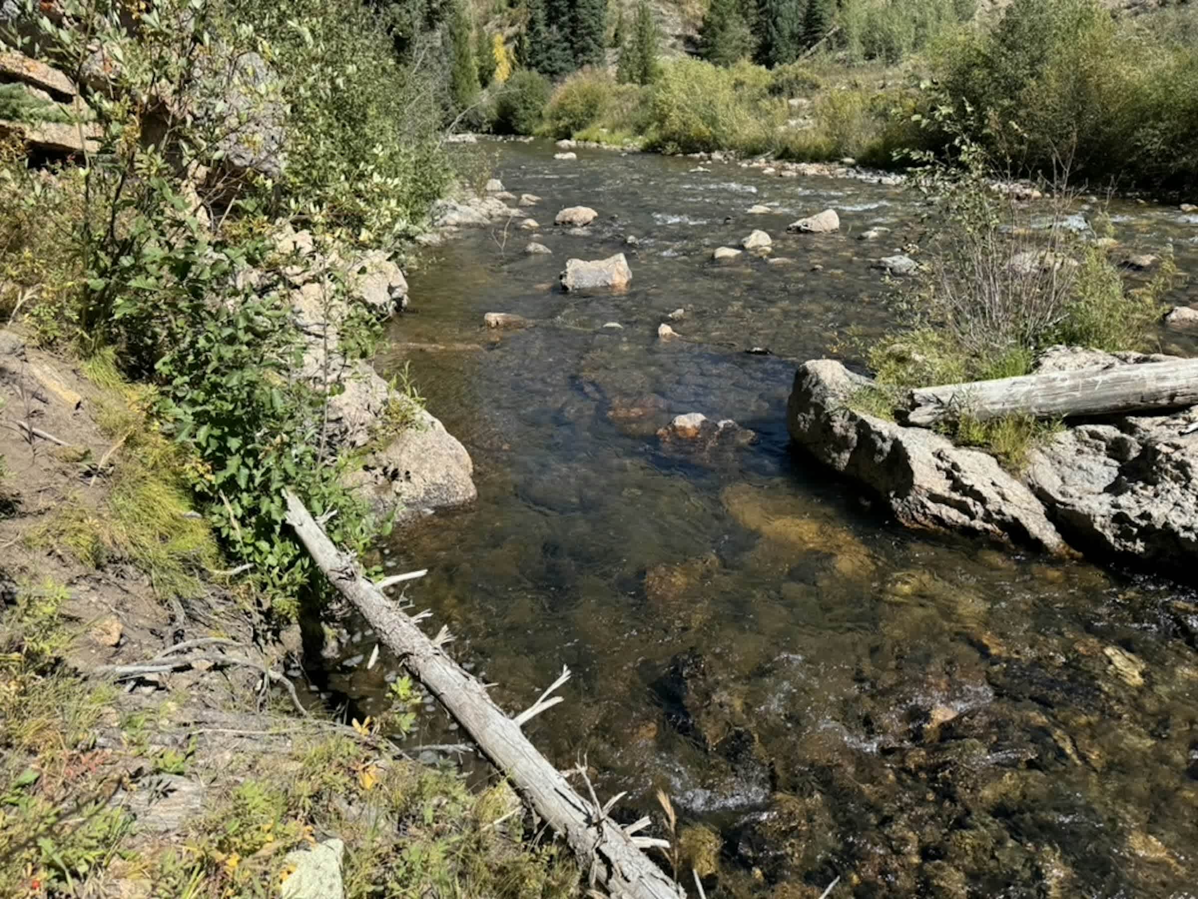
Nestled just 35 minutes from Silverthorne, CO, the 1.4 miles of the Upper Williams Fork River offers a welcoming escape for anglers seeking a challenge in a serene environment. The property boasts diverse terrain, presenting anglers with a variety of angling opportunities, including shallow and deep runs, as well as pools. The river gracefully meanders through a partially open canyon on the upper and middle sections, while downstream transforms into a canyon accessible to nimble anglers. Stretching over 45 miles, this portion of the river above Williams Fork Reservoir is not only a freestone river, but a haven for fly fishermen in search of a quiet stream amidst rolling hills, far from highways and foot traffic. The bank can be very inaccessible in high water, you will want to wait for the water to get below the high water mark so there is room for you to scramble down to the river. Rocks are very slippery.
This property is a beautiful but technical property, both when navigating the grounds and when it comes to fishing. You need to be in shape and prepared to fish this property, but the challenge can be worth it if you are up for the adventure. July, August, and September will most likely be the best months to fish this property as the water will have receded enough for you to down to the river.
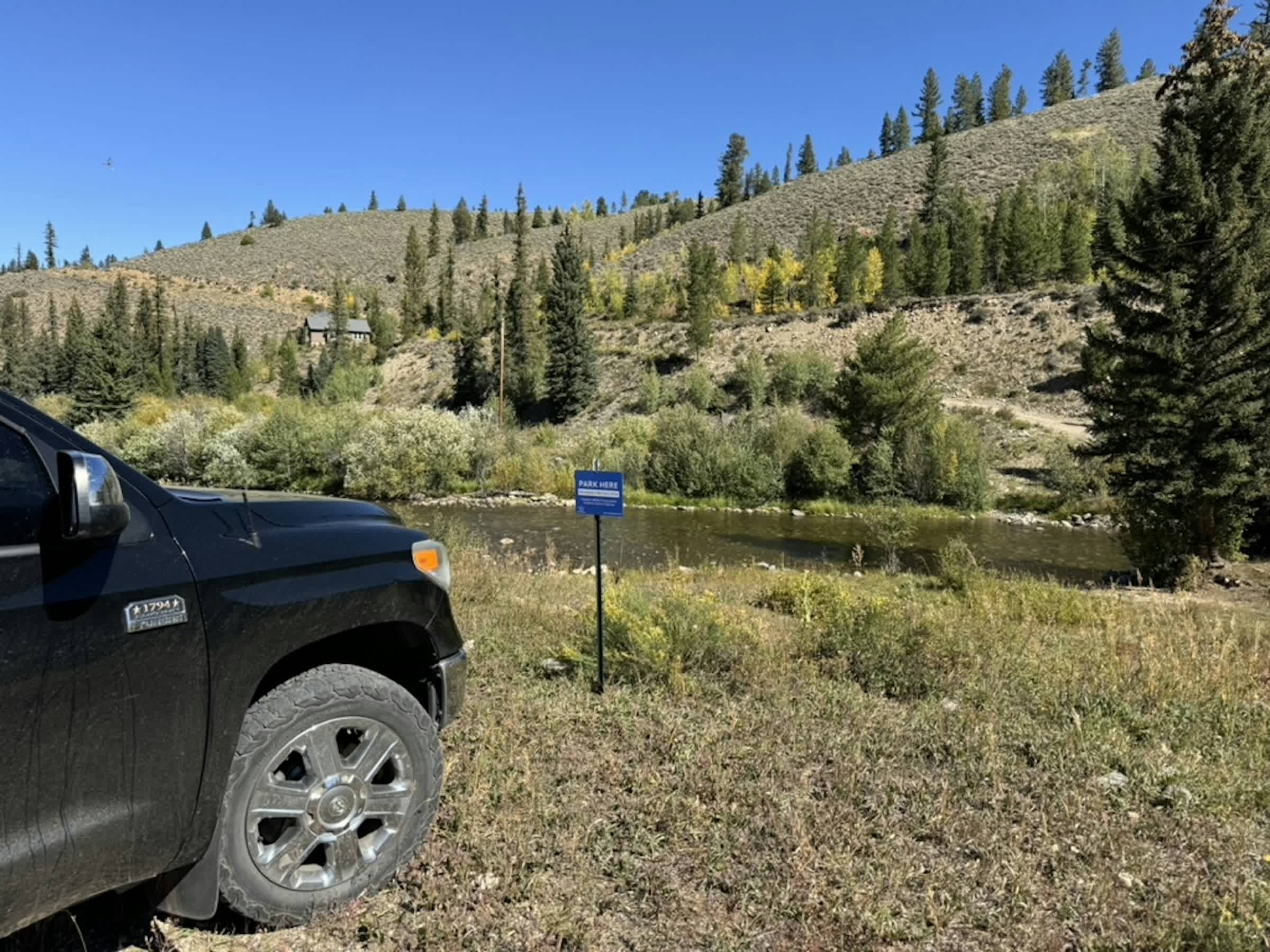
Anglers can expect the easiest access near the parking area. The banks are gradual in this area. Downstream has steeper access but may be very rewarding and feels very remote. Large pools and great runs. Upstream access has gradual and steeper access throughout.
Game and habitat information
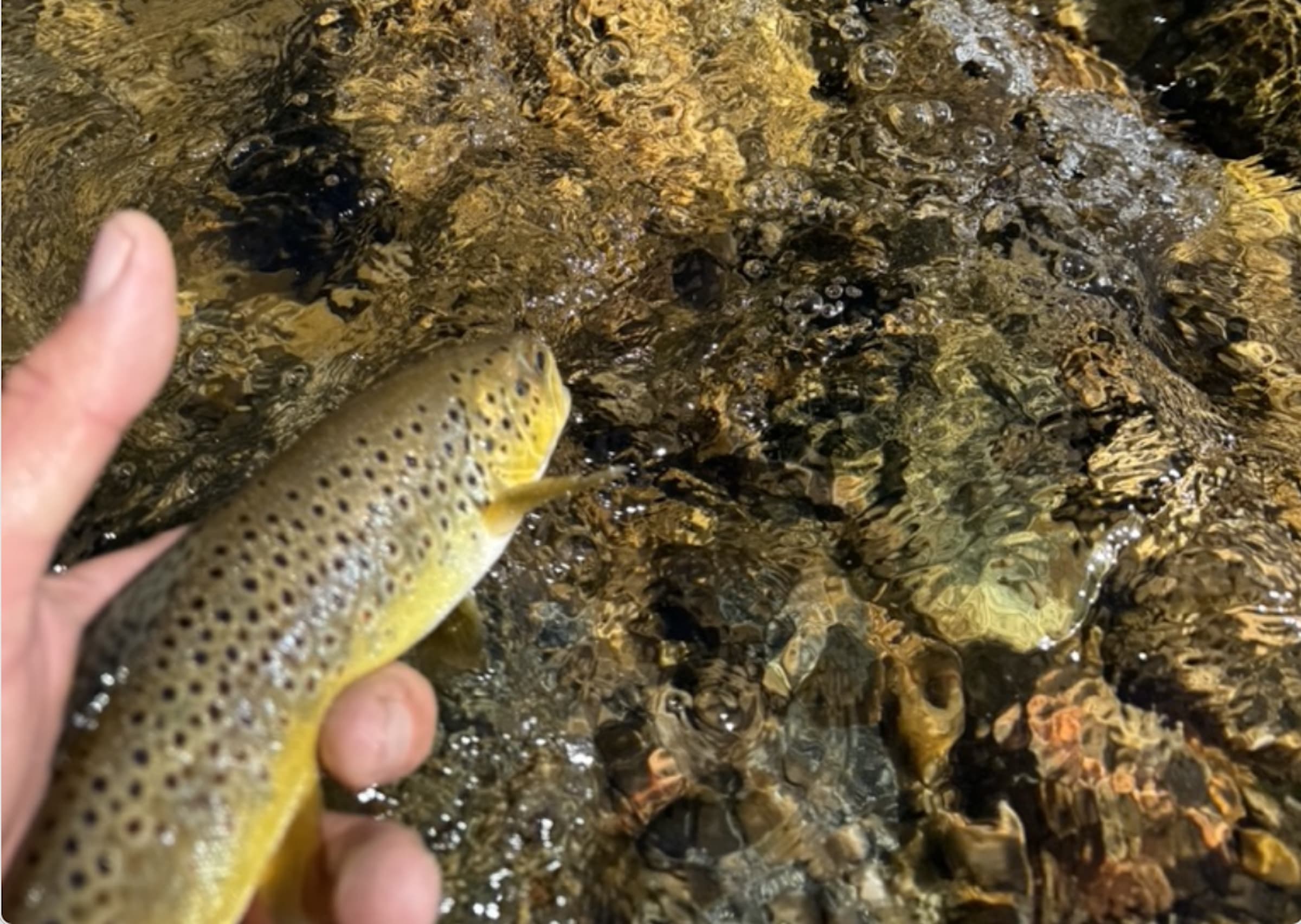
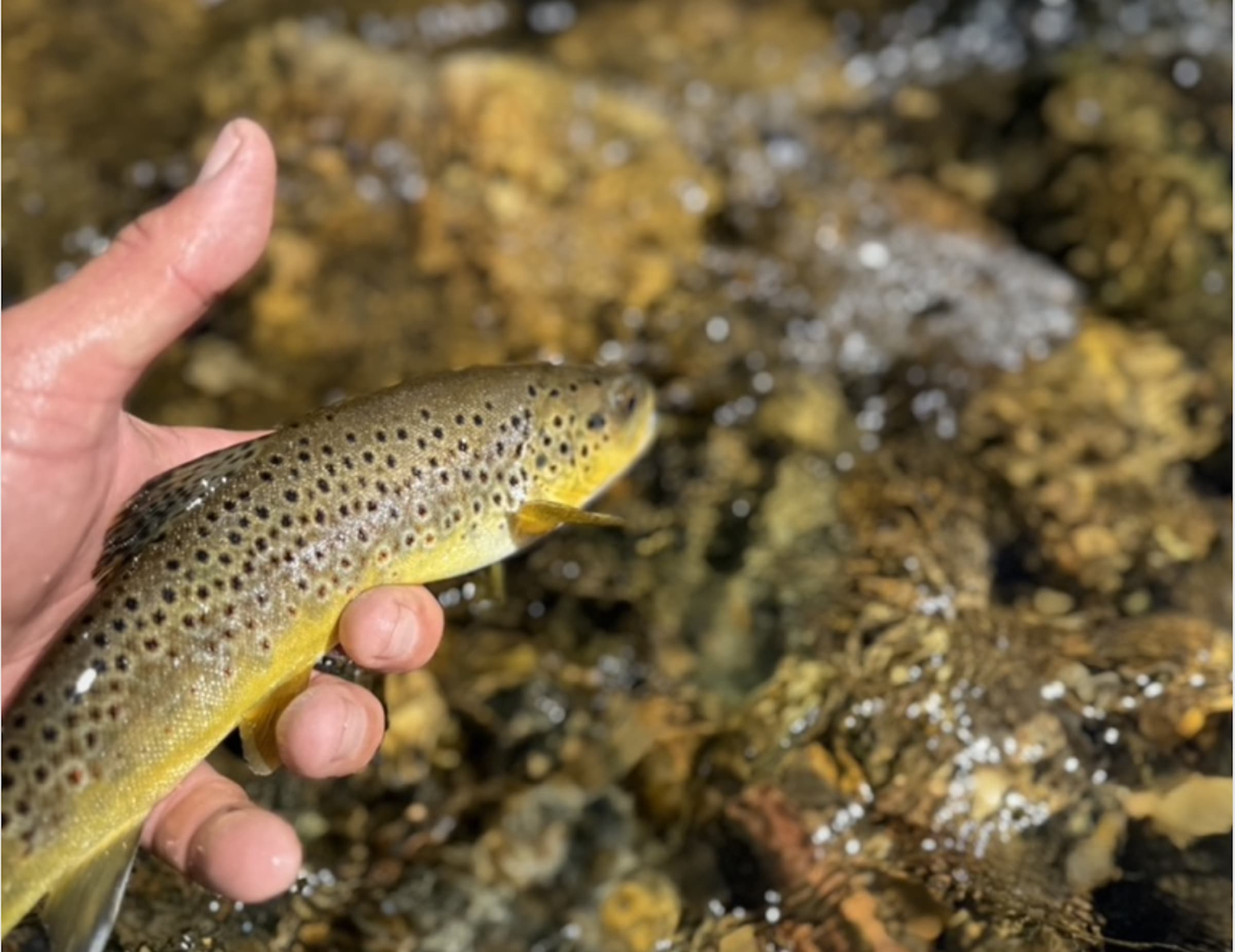
The river’s size is ideal for rainbows, browns, and the occasional cutthroat trout. Fish in the river range from 4 to 18 inches, offering a satisfying angling experience. For equipment, anglers are recommended to use 8’6″ 4wt and 9′ 5wt rods. A small pond on the property adds to the allure, potentially housing fish depending on the time of year. It serves as an excellent spot for kids to practice casting. Fly recommendations include midges, BWOs (Blue Winged Olives), caddis, stoneflies, and hoppers, ensuring a well-prepared and rewarding fishing experience in this picturesque corner of nature.
Do It Yourself Fishing
Infinite Outdoors is a technology platform that provides landowners with the ability to list their properties for recreational use and manage them in a conservation minded way. Infinite Outdoors is primarily dedicated to DIY Hunting and Angling, it is the angler's responsibility to be aware of weather, water flow, and river conditions. No refunds will be issued due to unfavorable conditions. It is the angler's responsibility to verify current conditions prior to arrival. Landowner calendars may show availability even when conditions are not favorable for fishing. In such cases, it is the angler's responsibility to check all local rules, regulations, and closures before fishing. Please review the Fishing Information tab for details that may assist in planning your trip. During warmer periods of the year, anglers are advised that early morning fishing generally provides the most favorable conditions.
Fishing Hours
Sunrise to Sunset
Fishing Information
Don’t forget your local fishing license, you can grab one online here.
Check your local flow report here. Ideal flows: 100 - 300 CFS.
Contact a local fly shop for the most up-to-date hatch and fly information.
Know the local regulations.
Fishing Season: Mid-June to the end of November. Best time of year of July, August, September.
Rod recommendation: 8'6" 4wt for dry fly, 9' 5wt