Pachuta, MS
Turkey
Deep South Turkey
Pachuta, MS
Turkey


Guest limit
5Hunt Duration
3 DaysAcreage
74Species
TurkeyElevation
360ftNotes from the landowner
When you arrive at the lake entrance, you'll take a 3.4-mile drive along the east side of the lake to reach the property. Along the way, you'll likely spot plenty of deer, geese, turkey, and other wildlife. This private lake is popular for fishing, and you'll notice the creative signs residents have on their lake homes and fish camps as you make your way there.
About a quarter mile from the property access gate, the road turns to gravel. Since the surrounding land is mostly commercial timber acreage, wildlife frequently moves onto our property in search of food and a place to rest. The property features over 2 miles of trails, most of which are accessible by Jeep or 4x4. There’s also a primitive campsite, Bravo Camp, with space to park a camper or trailer, along with additional parking just inside the gate.
The property has 1,500 feet of frontage along Lake Road (1638), a mix of hardwoods (oak, maple, hickory) and pine. While it’s not directly on the lake, access is through a private, gated lake community, so hunting guests will be let in at the gate and directed to the property. Enjoy your visit, and good luck with your hunt!
Game and habitat information
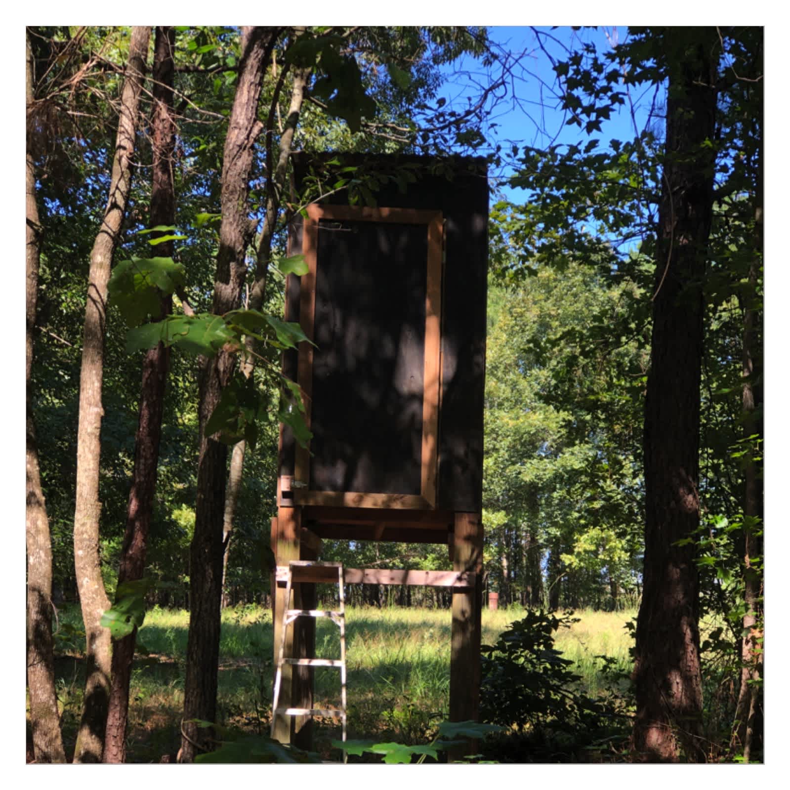
This property is a dense, mixed-species forest located at the northeast end of Lake Eddins, bordered by thousands of acres of commercial loblolly timber on the north, east, and south sides. The northern boundary's timber was harvested two years ago. The property features a rye grass meadow on the north side, surrounded by nut-bearing hickory and oak trees, with a shooting house and two shooting ranges.
Turkeys frequently pass through to drink from the small creeks that feed the lake. Turkeys roost and find refuge amongst the thick forest cover. With 95% of the land forested, most shots will be up close.
Focus your efforts east of the westernmost north-south trail, where trailheads are clearly marked and shown on the property map. The highest point of the property is in the center, with the lowest area—about 20 to 30 feet lower—located in the northeast corner. This area features a seasonal gully and intermittent creek bed that drains eastward into managed timberland.
For hunters who enjoy wild game, the meat from this area has great flavor, and Mississippi offers generous bag limits.
Harvest Reports
After your hunt, you will be sent an automated Harvest Report. To assist Infinite Outdoors in maintaining the quality of properties - and continue to put conservation at the forefront - we require that the harvest report be completely filled out and returned. Failure to fill out the harvest report within 2 weeks of the hunt taking place will result in a $25 fine. If you are unsuccessful in filling your tag, Infinite Outdoors still needs to have that information provided to them. This is how we will make changes to future year's harvest quotas and continue to be the most well managed access and conservation platform in the country.
Current Seasons
Hunt Duration
3 day hunt. By booking the first day of your adventure, you are automatically booking the following 2 as well. The reservation will be for the entire timeframe, and your entire group.
License and Application
Payment Process
Reservation fees are due at the time of booking, and are non-refundable. 100% of the outdoorsman fee will process 7 full days prior to the adventure start date.
Cancellation Policy
Cancellations must be made outside of the 7-day payment policy window. Any cancellations made within the 7 day window may be subject to full or partial changes. The IO team will work with you to reschedule, if applicable.
Availability
If there is a lapse in availability, please do not be discouraged to reach out to IO. All calendars are set and managed by landowners, and unavailability is set by them. However, IO is willing to reach out on your behalf, to check on available dates. Other reasons for unavailable dates include biologist recommended hunter/harvest quotas that landowners implement, as well as state season dates not being released.
Trespassing
You are not legally allowed to access the property, for any adventure, prior to your selected access day. If you try to access the property at all before your selected date(s), without prior approval from IO, you will be subject to trespassing and punishments therein.